How early introduction to alternative transportation can impact habits
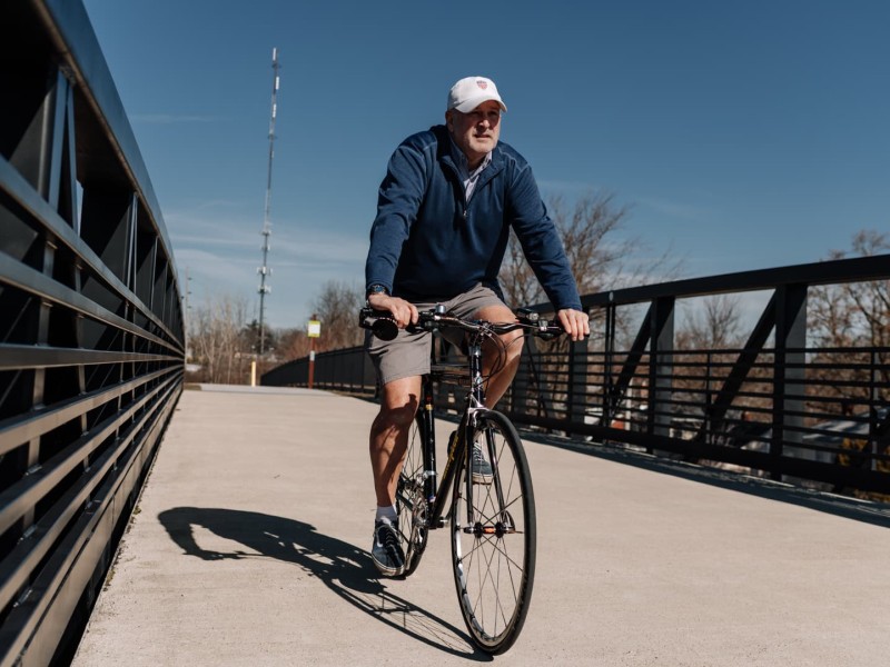
Fort Wayne is a city with a car-centric mindset. Early exposure to biking and transit could help, but a lack of density could limit long-term habit change.
Coverage of transit solutions, including public transportation, bikes, buses, light rail, commuter trains, and ferries, especially those intended to reduce congestion, improve air quality, and provide efficient movement across a metropolitan area.
Fort Wayne is a city with a car-centric mindset. Early exposure to biking and transit could help, but a lack of density could limit long-term habit change.
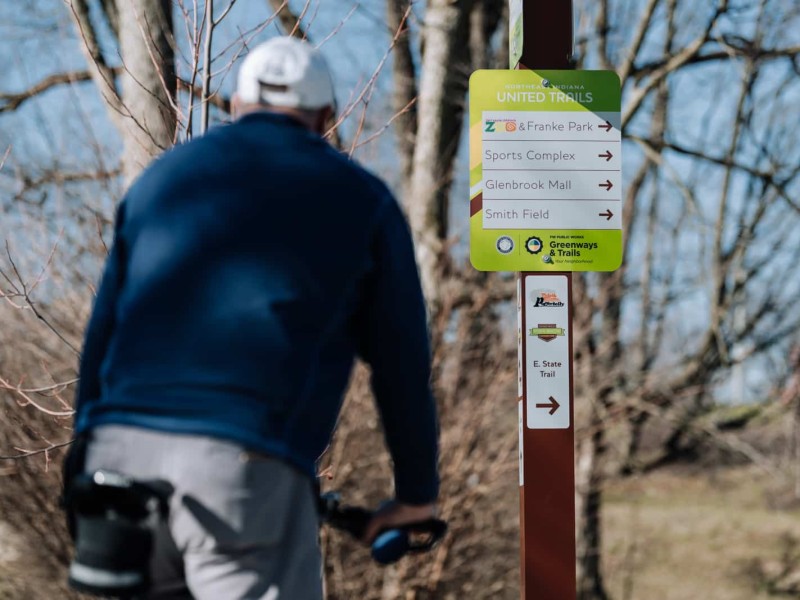
Regional planners are expanding trail signage and wayfinding to help riders move beyond familiar routes and explore the network with confidence.
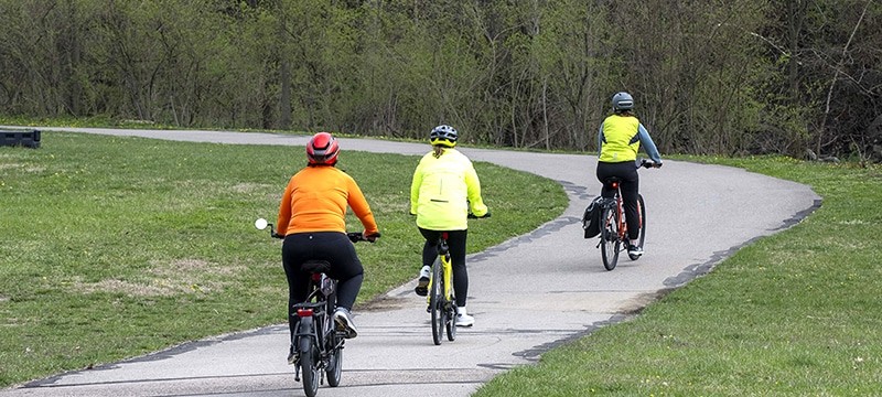
The 42-mile path would improve access to recreational opportunities in communities through the Mill Creek Valley.
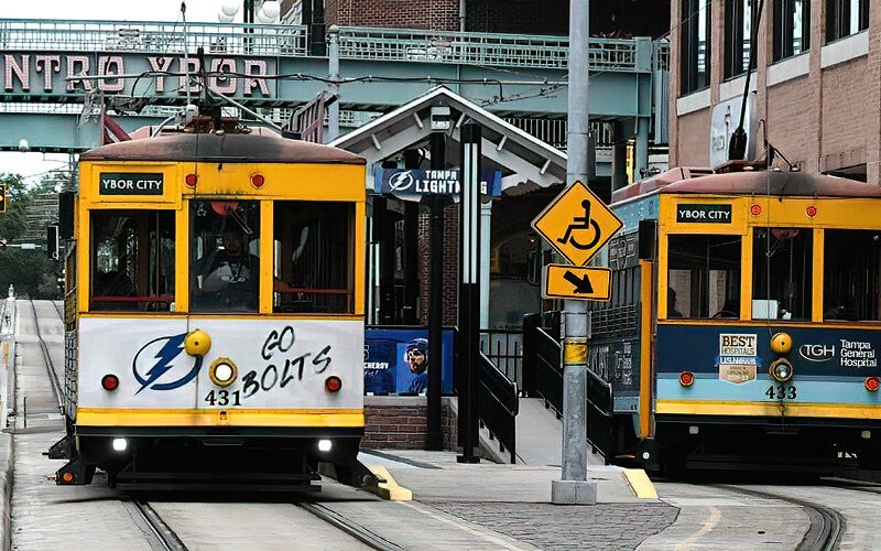
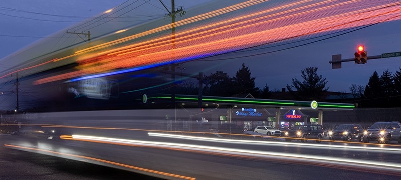
Tampa leaders mull options for TECO Line streetcar extension that could shape future growth.
Fort Wayne riders say familiarity, etiquette, and experience shape how comfortable people feel navigating the region’s expanding trail network.
The “road diet” is increasingly being considered to slow speed while at the same time keep traffic flowing.
Fort Wayne Trails counters thin budgets by launching volunteer "soft maintenance" and partnering with local businesses for trail amenities.
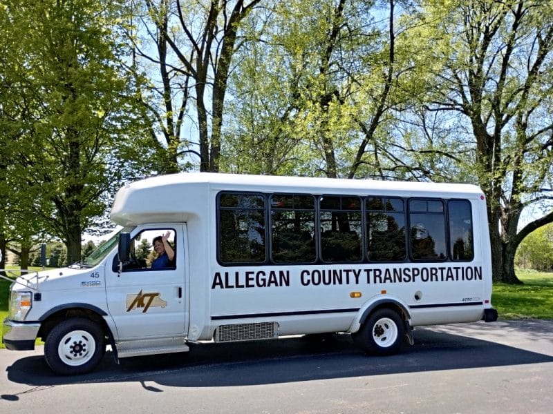
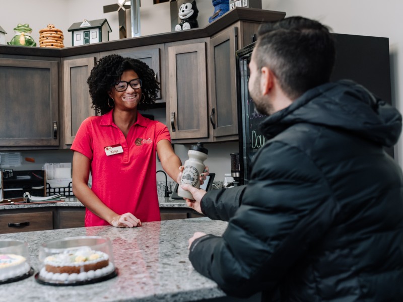
Collaboration ensures Allegan County residents get mental health care when they need it.
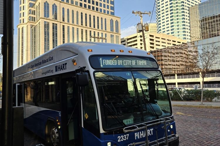
Tampa City Council's pragmatic approach for improving service and growing ridership on HART Route 1 is producing results.
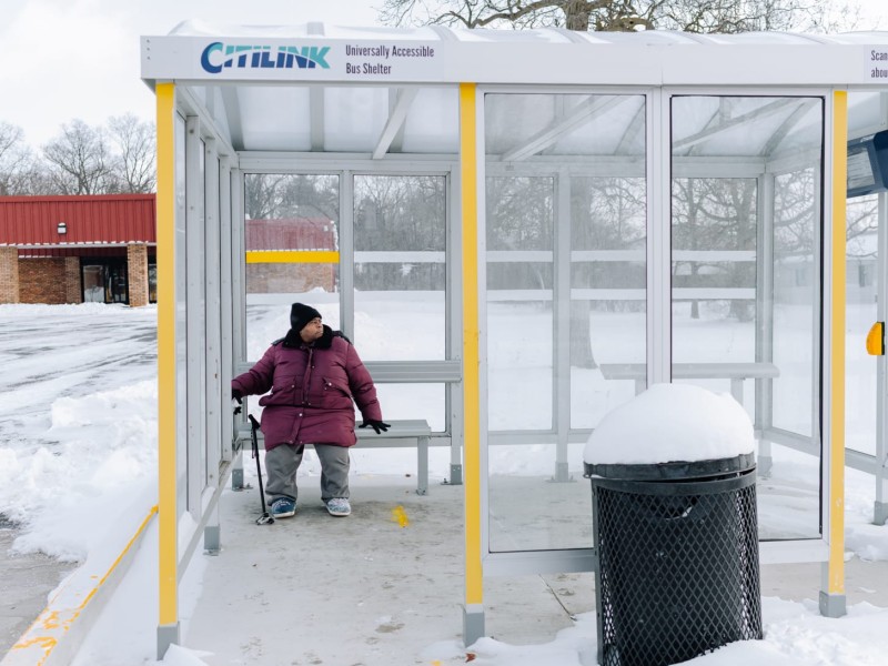
Citilink, the local transit agency in Fort Wayne, Ind., is piloting a low-maintenance, low-energy display that can communicate route information to riders at two bus stops.
Our Partners
